


a éditer 18 aout

jerome.martel
User

Length
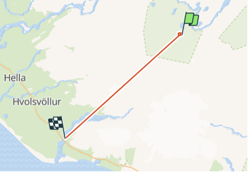
68 km
Boucle
No
Creation date :
2019-08-18 16:39:26.035
Updated on :
2019-08-19 13:59:53.923
4h33
Difficulty : Very easy

FREE GPS app for hiking
 SityTrail
IGN / Geographical institutes
SityTrail Plus
The world is yours!
About
Trail Walking of 68 km to be discovered at Unknown, Rangárþing ytra. This trail is proposed by jerome.martel.
Positioning
Country:
Iceland
Region :
Unknown
Department/Province :
Rangárþing ytra
Municipality :
Landmannalaugar
Location:
Unknown
Start:(Dec)
Start:(UTM)
594855 ; 7096880 (27V) N.
Comments