


LAC DU BROUFFIER

jphugon
User

Length
9.5 km

Max alt
2156 m

Uphill gradient
811 m
Km-Effort
20 km

Min alt
1358 m

Downhill gradient
811 m
Boucle
Yes
Creation date :
2019-08-21 07:04:10.953
Updated on :
2019-08-21 07:05:43.2
3h59
Difficulty : Difficult

FREE GPS app for hiking
 SityTrail
IGN / Geographical institutes
SityTrail Plus
The world is yours!
About
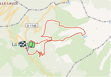
Trail Walking of 9.5 km to be discovered at Auvergne-Rhône-Alpes, Isère, La Morte. This trail is proposed by jphugon.
Description
depart pkg La Morte
Positioning
Country:
France
Region :
Auvergne-Rhône-Alpes
Department/Province :
Isère
Municipality :
La Morte
Location:
Unknown
Start:(Dec)
Start:(UTM)
725082 ; 4990093 (31T) N.
Comments