


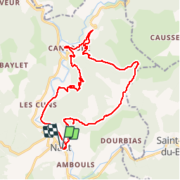

15.3 km | 23 km-effort


User


FREE GPS app for hiking
 SityTrail
IGN / Geographical institutes
SityTrail World
The world is yours!
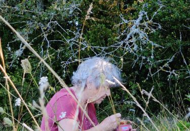
Trail Walking of 21 km to be discovered at Occitania, Aveyron, Nant. This trail is proposed by labarone.
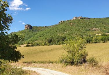
En passant par le roc nantais et le mas balmarelesse
2 bonnes montees..
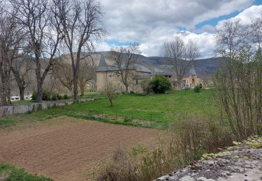
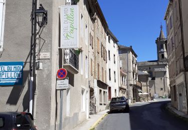
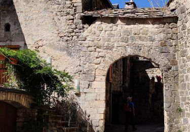
Village de cantobre magnifique à voir absolument... Voir photos... Un resto qui a l air très bien
A FAIRE !!!!


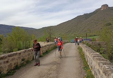
Walking
Walking
Walking

Walking
Walking
Walking
Walking

Running