


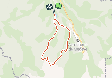

10.2 km | 17.6 km-effort


User


FREE GPS app for hiking
 SityTrail
IGN / Geographical institutes
SityTrail World
The world is yours!
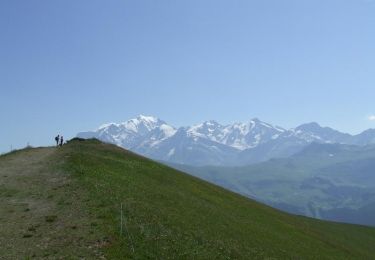
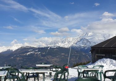
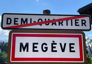
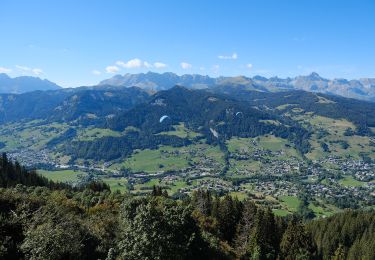
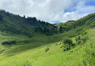
Trail Walking of 6.5 km to be discovered at Auvergne-Rhône-Alpes, Upper Savoy, Megève. This trail is proposed by ANDREJAC.
Départ et retour par Javen Haut,
Montée par Plaine Joux,Chon.
Descente par ruisseau et bois du Sallangaz.
Walking

Mountain bike
Snowshoes
Walking
On foot
Walking
Walking

Walking
Walking