


St_Myon_Morge_Puy_Loule

jagarnier
User GUIDE
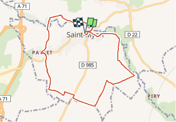

Length
9.3 km

Max alt
431 m

Uphill gradient
131 m
Km-Effort
11.1 km

Min alt
336 m

Downhill gradient
132 m
Boucle
Yes
Creation date :
2019-08-25 05:29:42.654
Updated on :
2024-05-19 06:37:36.318
2h45
Difficulty : Easy

FREE GPS app for hiking
 SityTrail
IGN / Geographical institutes
SityTrail Plus
The world is yours!
About
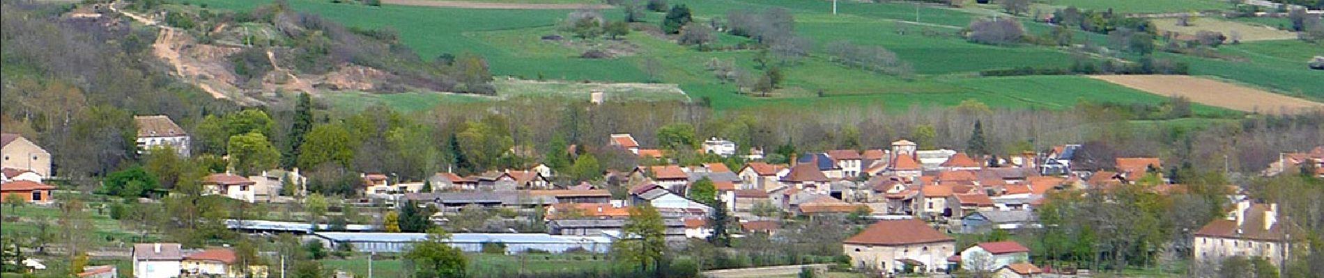
Trail Walking of 9.3 km to be discovered at Auvergne-Rhône-Alpes, Puy-de-Dôme, Saint-Myon. This trail is proposed by jagarnier.
Description
Cette randonnée s'effectue en partie sur de larges chemins qui traversent les cultures de la plaine de Limagne. Ne pas se priver d'une visite de la source Desaix à Saint-Myon
Photos

Positioning
Country:
France
Region :
Auvergne-Rhône-Alpes
Department/Province :
Puy-de-Dôme
Municipality :
Saint-Myon
Location:
Unknown
Start:(Dec)
Start:(UTM)
510195 ; 5093439 (31T) N.
Comments