


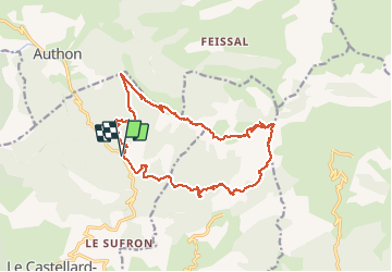

15.2 km | 28 km-effort


User


FREE GPS app for hiking
 SityTrail
IGN / Geographical institutes
SityTrail World
The world is yours!
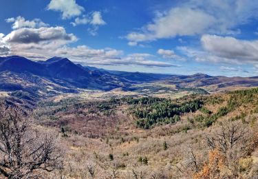
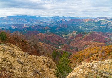
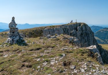
Trail Walking of 21 km to be discovered at Provence-Alpes-Côte d'Azur, Alpes-de-Haute-Provence, Le Castellard-Mélan. This trail is proposed by motardes04.
Erreur sur le fix de départ qui s'est bien fait depuis le parking. Soit 850 m de dénivelée et entre 20 et 21 km A/R

Walking

Walking
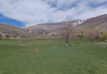
Walking
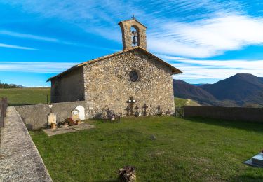
Walking
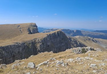
On foot
Walking
Walking
Walking
Walking