


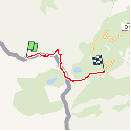

12.7 km | 22 km-effort

User


FREE GPS app for hiking
 SityTrail
IGN / Geographical institutes
SityTrail World
The world is yours!
Trail Walking of 4 km to be discovered at Aragon, Huesca, Torla-Ordesa. This trail is proposed by 1037.
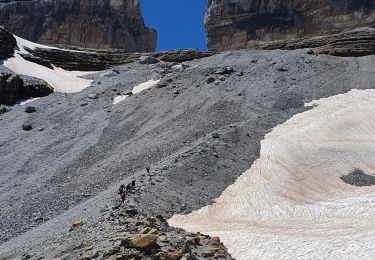
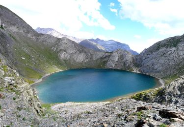
Départ du parking, col des Espécières en laissant le lac en contrebas à droite. Crête vers l'ouest puis direction Nord pour rejoindre la crête au nord. Crête plein sud puis Soum Blanc en écharpe.


Walking

Walking

Walking

Walking

Walking
Walking
Walking
Walking
On foot
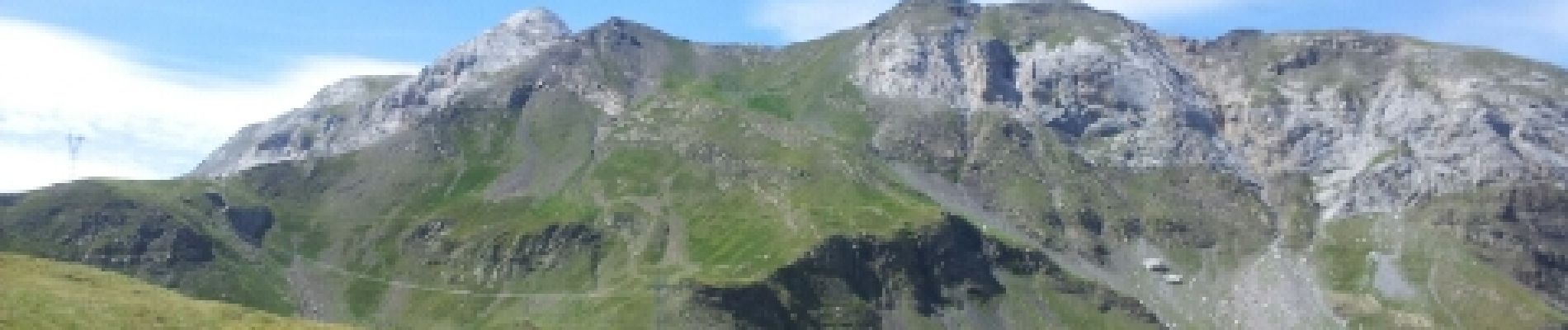
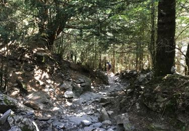
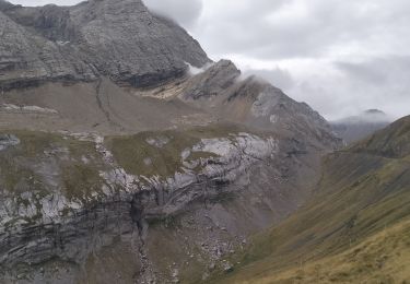
Superbe randonnée.