


Forts du Col de tendes

jlrayon
User
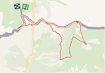

Length
12.7 km

Max alt
2304 m

Uphill gradient
832 m
Km-Effort
24 km

Min alt
1796 m

Downhill gradient
831 m
Boucle
Yes
Creation date :
2015-07-31 00:00:00.0
Updated on :
2015-07-31 00:00:00.0
4h00
Difficulty : Unknown

FREE GPS app for hiking
 SityTrail
IGN / Geographical institutes
SityTrail Plus
The world is yours!
About
Trail Walking of 12.7 km to be discovered at Piemont, Cuneo, Limone Piemonte. This trail is proposed by jlrayon.
Positioning
Country:
Italy
Region :
Piemont
Department/Province :
Cuneo
Municipality :
Limone Piemonte
Location:
Unknown
Start:(Dec)
Start:(UTM)
385158 ; 4890220 (32T) N.
Comments