Trail Walking Roches-lès-Blamont - 2019.09.06.Roches  - Photo
 ROPPJP
ROPPJP

User

© OpenStreetMap contributors
Length
Length
11.4 km
Max alt
Max alt
547 m
Uphill gradient
Uphill gradient
383 m
Km-Effort
Km-Effort  
16.5 km
Min alt
Min alt
377 m
Downhill gradient
Downhill gradient
383 m
Boucle
Boucle
Yes
Creation date :
2019-09-06 06:30:50.55
Updated on :
2019-09-06 09:44:10.44

(0 Reviews)

Walking
Walking
3h12
Difficulty : Very easy

Scan this QR Code to open this trail in the SityTrail application

FREE GPS app for hiking

Logo SityTrail SityTrail

IGN / Geographical institutes

Download SityTrail from the App Store Download SityTrail from Google Play

Logo SityTrail SityTrail World

The world is yours!

Download SityTrail from the App Store Download SityTrail from Google Play Download SityTrail on Huawei AppGallery

About

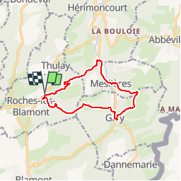
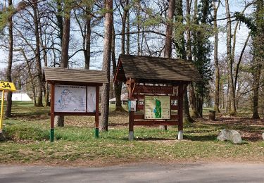
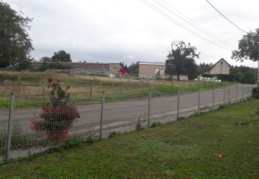
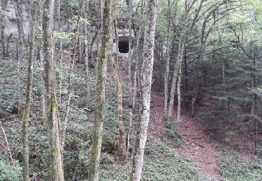
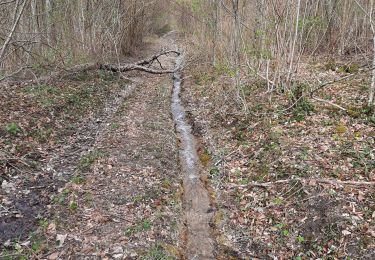
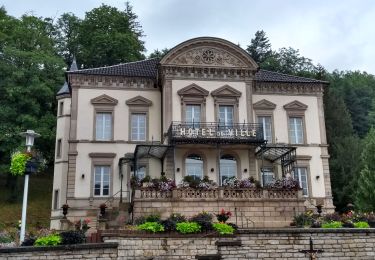
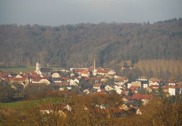
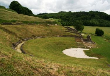
Trail Walking of 11.4 km to be discovered at Bourgogne-Franche-Comté, Doubs, Roches-lès-Blamont. This trail is proposed by ROPPJP.

Description

Suivi les balises "jaunes et Bleus 2 "
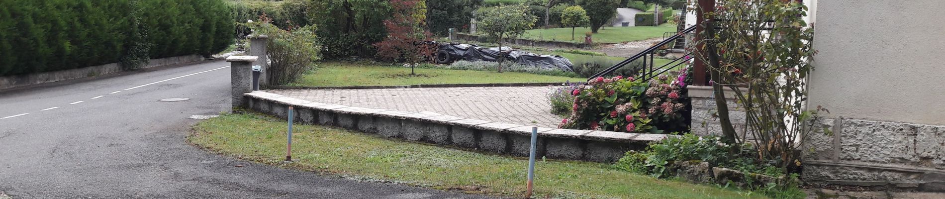
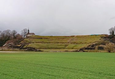
Petit problème à Méslière, j ai traversé 2 propriétés !
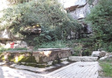
Conseille de la faire dans l autre sens pour trouver la bonne trace à Hérimoncourt .

Elevation profile

Photos

Positioning

Country:
France
Region :
Bourgogne-Franche-Comté
Department/Province :
Doubs
Municipality :
Roches-lès-Blamont
Location:
Unknown
Start:(UTM)
338305 ; 5253305 (32T) N.

Trails nearby

Trail Walking Mandeure - Mandeure, Les Grands Communaux 9.6 Km - Photo
Walking
randovoujo

Walking

Difficult
(1)
Mandeure, Bourgogne-Franche-Comté, Doubs, France
9.6 km | 13.2 km-effort
2h 59min
Yes
Trail Walking Roches-lès-Blamont - 2019.09.05.Roches  - Photo
Walking
ROPPJP

Walking

Very easy
Roches-lès-Blamont, Bourgogne-Franche-Comté, Doubs, France
10.8 km | 14.7 km-effort
2h 38min
Yes
Trail Mountain bike Pierrefontaine-lès-Blamont - dans le lomont et la frontière franco suisse - Photo
Mountain bike
jibus90

Mountain bike

Difficult
Pierrefontaine-lès-Blamont, Bourgogne-Franche-Comté, Doubs, France
42 km | 59 km-effort
4h 38min
Yes
Trail Walking Mandeure - source Charles  - Photo
Walking
juliogomez

Walking

Easy
Mandeure, Bourgogne-Franche-Comté, Doubs, France
5 km | 6.4 km-effort
1h 35min
No
Trail Walking Mandeure - Mandeure 1 - Photo
Walking
randovoujo

Walking

Medium
Mandeure, Bourgogne-Franche-Comté, Doubs, France
9 km | 11.9 km-effort
2h 42min
Yes
Trail Walking Roches-lès-Blamont - 2019.09.04.Roches  - Photo
Walking
ROPPJP

Walking

Very easy
Roches-lès-Blamont, Bourgogne-Franche-Comté, Doubs, France
9.6 km | 12.9 km-effort
2h 31min
Yes
Trail Walking Mandeure - Etape 1 GTJ : Mandeure à Pont de Roide - Photo
Walking
annefrance70

Walking

Easy
Mandeure, Bourgogne-Franche-Comté, Doubs, France
14 km | 18.1 km-effort
4h 40min
No
Trail Mountain bike Mandeure - Randonnée autour de Mandeure - Photo
Mountain bike
tracegps

Mountain bike

Medium
Mandeure, Bourgogne-Franche-Comté, Doubs, France
25 km | 32 km-effort
2h 0min
No
Trail Cycle Mandeure - Le Lomont - Doubs - Photo
Cycle
tracegps

Cycle

Difficult
Mandeure, Bourgogne-Franche-Comté, Doubs, France
72 km | 89 km-effort
3h 0min
Yes


Close
My subscriptions