


Mongolie5

DUPORT16
User
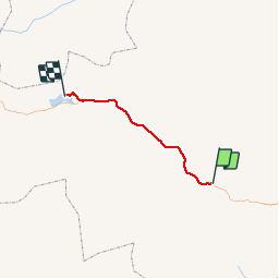

Length
159 km

Max alt
2206 m

Uphill gradient
2120 m
Km-Effort
186 km

Min alt
1604 m

Downhill gradient
1664 m
Boucle
No
Creation date :
2019-09-05 05:30:40.215
Updated on :
2019-09-08 12:27:04.361
5h14
Difficulty : Very easy

FREE GPS app for hiking
 SityTrail
IGN / Geographical institutes
SityTrail World
The world is yours!
About
Trail 4x4 of 159 km to be discovered at Arkhangai, Ih-Tamir. This trail is proposed by DUPORT16.
Positioning
Country:
Mongolia
Region :
Arkhangai
Department/Province :
Ih-Tamir
Municipality :
Tayhar
Location:
Unknown
Start:(Dec)
Start:(UTM)
668791 ; 5273418 (47T) N.
Comments
Trails nearby