


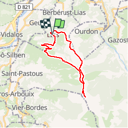

10.3 km | 14.6 km-effort


User


FREE GPS app for hiking
 SityTrail
IGN / Geographical institutes
SityTrail World
The world is yours!
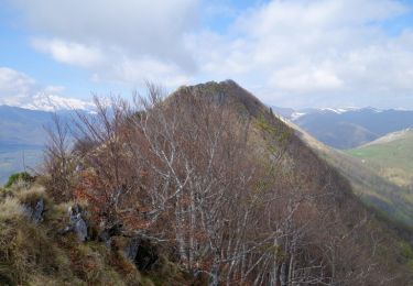
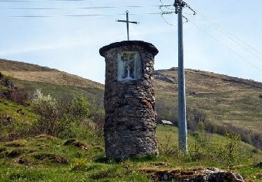
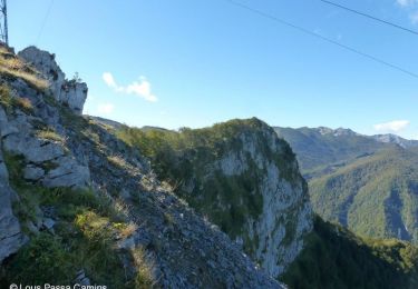
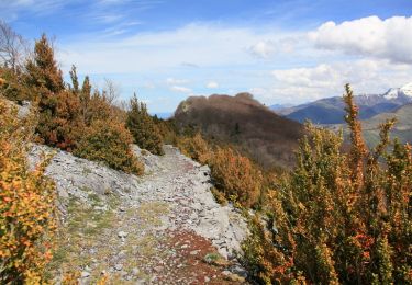
Trail Walking of 12.5 km to be discovered at Occitania, Hautespyrenees, Berbérust-Lias. This trail is proposed by benat40.
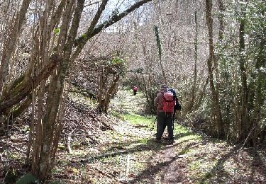
Randonnée très agréable à faire en boucle
Walking
Walking
Walking

Walking
Walking
Walking
Walking
Walking
Walking