le taillon breche de rolland

bymarc26
User
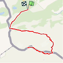

Length
15.3 km

Max alt
3131 m

Uphill gradient
1123 m
Km-Effort
30 km

Min alt
2199 m

Downhill gradient
1122 m
Boucle
Yes
Creation date :
2019-09-12 07:09:40.591
Updated on :
2019-09-12 16:40:18.997
7h55
Difficulty : Difficult

FREE GPS app for hiking
 SityTrail
IGN / Geographical institutes
SityTrail Plus
The world is yours!
About
Trail Walking of 15.3 km to be discovered at Occitania, Hautespyrenees, Gavarnie-Gèdre. This trail is proposed by bymarc26.
Positioning
Country:
France
Region :
Occitania
Department/Province :
Hautespyrenees
Municipality :
Gavarnie-Gèdre
Location:
Gavarnie
Start:(Dec)
Start:(UTM)
741482 ; 4733243 (30T) N.
Comments