Du lac d'Estaing au lac du Pla de Prat

pacha56
User
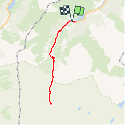

Length
13.2 km

Max alt
1679 m

Uphill gradient
557 m
Km-Effort
21 km

Min alt
1161 m

Downhill gradient
552 m
Boucle
Yes
Creation date :
2019-09-13 08:38:21.012
Updated on :
2019-09-13 19:59:36.664
4h09
Difficulty : Easy

FREE GPS app for hiking
 SityTrail
IGN / Geographical institutes
SityTrail Plus
The world is yours!
About
Trail Walking of 13.2 km to be discovered at Occitania, Hautespyrenees, Estaing. This trail is proposed by pacha56.
Description
Randonnée facile, pastorale
Positioning
Country:
France
Region :
Occitania
Department/Province :
Hautespyrenees
Municipality :
Estaing
Location:
Unknown
Start:(Dec)
Start:(UTM)
727494 ; 4754079 (30T) N.
Comments