


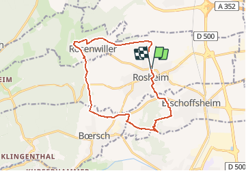
Rosheim Rosheim

vaillantjm
User

Length
14.1 km

Max alt
362 m

Uphill gradient
377 m
Km-Effort
19.1 km

Min alt
184 m

Downhill gradient
378 m
Boucle
Yes
Creation date :
2019-09-14 07:23:28.612
Updated on :
2021-02-21 16:46:36.914
4h00
Difficulty : Medium

FREE GPS app for hiking
 SityTrail
IGN / Geographical institutes
SityTrail Plus
The world is yours!
About
Trail Walking of 14.1 km to be discovered at Grand Est, Bas-Rhin, Rosheim. This trail is proposed by vaillantjm.
Description
Sympathique randonnée pour découvrir le vignoble entre Rosheim et Rosenwiller, le cimetière juif de Rosenwiller, la colline du Bischenberg.
Positioning
Country:
France
Region :
Grand Est
Department/Province :
Bas-Rhin
Municipality :
Rosheim
Location:
Unknown
Start:(Dec)
Start:(UTM)
386997 ; 5372890 (32U) N.
Comments