


gitane a Villier le Bacle

philou91
User
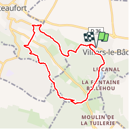

Length
8 km

Max alt
167 m

Uphill gradient
203 m
Km-Effort
10.7 km

Min alt
84 m

Downhill gradient
204 m
Boucle
Yes
Creation date :
2019-09-14 12:28:27.959
Updated on :
2019-09-14 15:32:34.383
2h31
Difficulty : Easy

FREE GPS app for hiking
 SityTrail
IGN / Geographical institutes
SityTrail Plus
The world is yours!
About
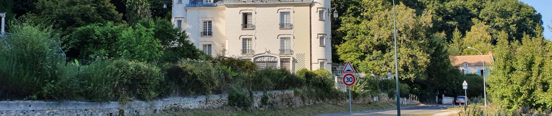
Trail Walking of 8 km to be discovered at Ile-de-France, Essonne, Villiers-le-Bâcle. This trail is proposed by philou91.
Photos


Positioning
Country:
France
Region :
Ile-de-France
Department/Province :
Essonne
Municipality :
Villiers-le-Bâcle
Location:
Unknown
Start:(Dec)
Start:(UTM)
435391 ; 5397462 (31U) N.
Comments