


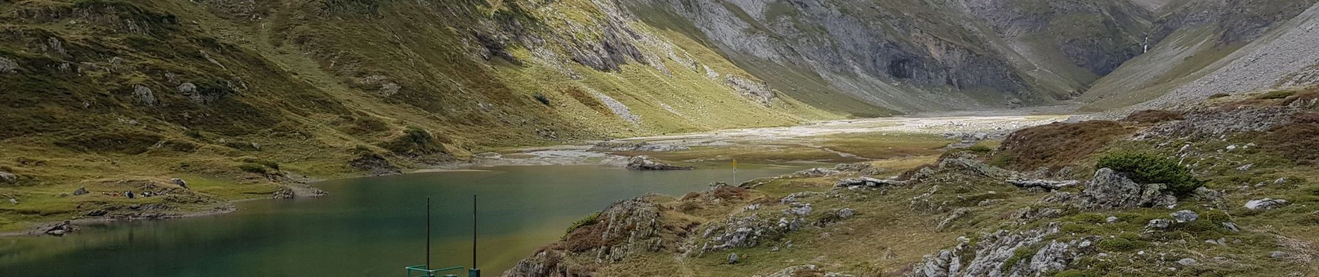
Hourquette d'Ossoué - Barrage d'Ossoué

pffrench
User
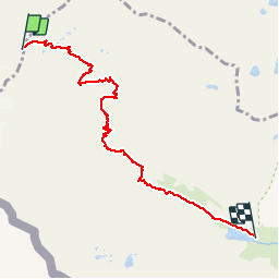


4h57
Difficulty : Medium

FREE GPS app for hiking
 SityTrail
IGN / Geographical institutes
SityTrail Plus
The world is yours!
About
Trail Walking of 7.2 km to be discovered at Occitania, Hautespyrenees, Cauterets. This trail is proposed by pffrench.
Description
Descente à partir du refuge de Baysselance en ayant fait un crochet par la Hourquette. Le refuge est un bon point de départ pour l'ascension du Vignemale, qui n'est pas décrite ici, car elle correspond à une activité d'alpinisme.
Photos


Positioning
Comments