


Randonnée Cap Corse

JPL8321
User
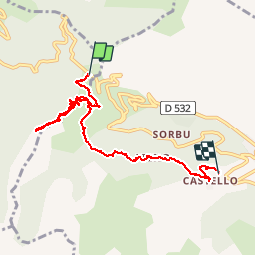

Length
8.9 km

Max alt
633 m

Uphill gradient
363 m
Km-Effort
14.5 km

Min alt
152 m

Downhill gradient
596 m
Boucle
No
Creation date :
2019-09-17 08:14:56.0
Updated on :
2019-09-17 13:05:17.072
4h16
Difficulty : Difficult

FREE GPS app for hiking
 SityTrail
IGN / Geographical institutes
SityTrail Plus
The world is yours!
About
Trail Walking of 8.9 km to be discovered at Corsica, Haute-Corse, Pino. This trail is proposed by JPL8321.
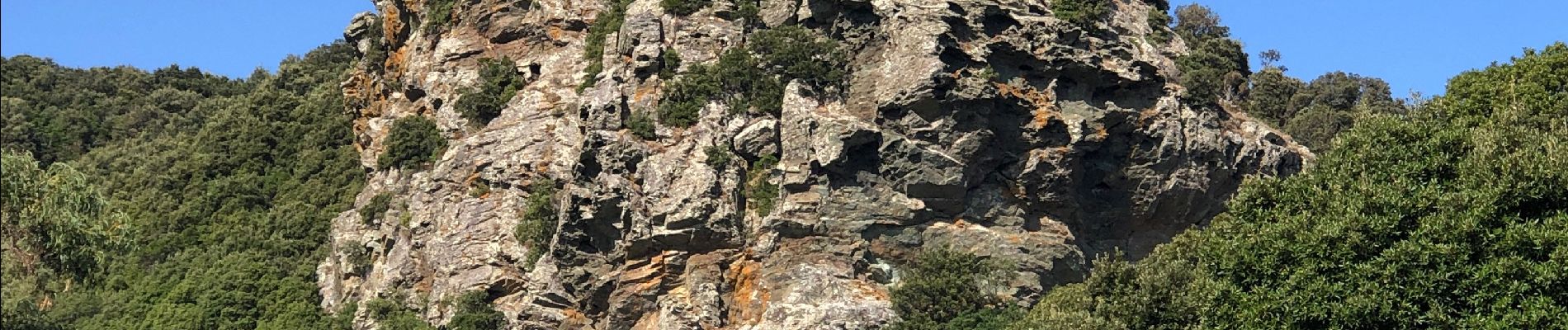
Photos


Positioning
Country:
France
Region :
Corsica
Department/Province :
Haute-Corse
Municipality :
Pino
Location:
Unknown
Start:(Dec)
Start:(UTM)
530549 ; 4750756 (32T) N.
Comments