


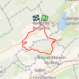
Remoray-Boujeons - Le Belvédère des deux Lacs

nicolibris
User

Length
10.4 km

Max alt
1010 m

Uphill gradient
252 m
Km-Effort
13.8 km

Min alt
855 m

Downhill gradient
252 m
Boucle
Yes
Creation date :
2019-09-19 08:30:12.368
Updated on :
2019-09-20 16:40:05.759
2h58
Difficulty : Difficult

FREE GPS app for hiking
 SityTrail
IGN / Geographical institutes
SityTrail Plus
The world is yours!
About
Trail Walking of 10.4 km to be discovered at Bourgogne-Franche-Comté, Doubs, Remoray-Boujeons. This trail is proposed by nicolibris.
Description
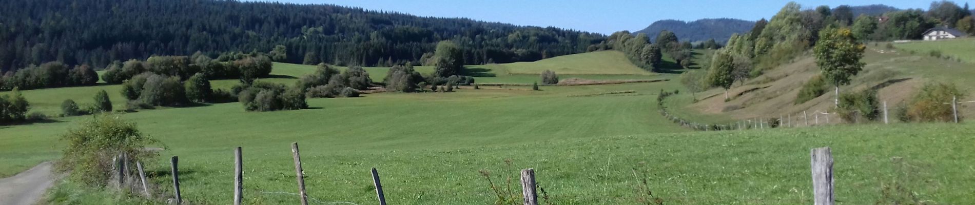
Magnifique randonnée avec vue superbe sur le lac de Remoray et le Lac de Saint Point - pas vraiment de difficultés - l'approche du belvédère est assez pentue mais très courte.
Photos


Positioning
Country:
France
Region :
Bourgogne-Franche-Comté
Department/Province :
Doubs
Municipality :
Remoray-Boujeons
Location:
Unknown
Start:(Dec)
Start:(UTM)
289223 ; 5183123 (32T) N.
Comments
Superbe et variée.