


Les Echelles de Charminelle

cousam
User

Length
74 km

Max alt
1367 m

Uphill gradient
3530 m
Km-Effort
123 km

Min alt
139 m

Downhill gradient
4309 m
Boucle
No
Creation date :
2019-09-21 05:58:04.868
Updated on :
2021-06-02 16:21:56.836
6h20
Difficulty : Very easy

FREE GPS app for hiking
 SityTrail
IGN / Geographical institutes
SityTrail Plus
The world is yours!
About
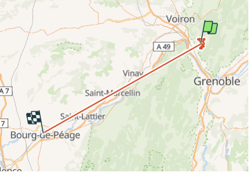
Trail Walking of 74 km to be discovered at Auvergne-Rhône-Alpes, Isère, Voreppe. This trail is proposed by cousam.
Description
Rando assez hard pour trouver les échelles
( pas tenir compte du retour ligne droite du GPS pas arrêté! )
Positioning
Country:
France
Region :
Auvergne-Rhône-Alpes
Department/Province :
Isère
Municipality :
Voreppe
Location:
Unknown
Start:(Dec)
Start:(UTM)
709616 ; 5019036 (31T) N.
Comments