


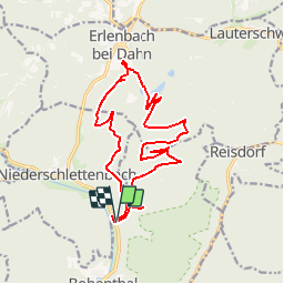


6.5 km | 9.6 km-effort


User


FREE GPS app for hiking
 SityTrail
IGN / Geographical institutes
SityTrail World
The world is yours!
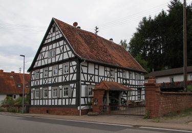
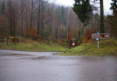
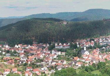
Trail Horseback riding of 16.4 km to be discovered at Rhineland-Palatinate, Südwestpfalz, Bobenthal. This trail is proposed by acey90.

On foot
On foot
On foot
On foot
On foot
On foot
On foot

On foot

On foot