


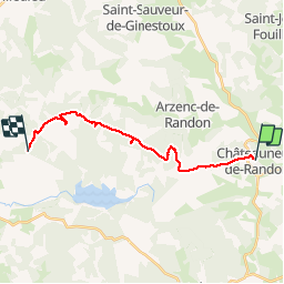

38 km | 47 km-effort


User


FREE GPS app for hiking
 SityTrail
IGN / Geographical institutes
SityTrail World
The world is yours!
Trail Walking of 17.6 km to be discovered at Occitania, Lozère, Châteauneuf-de-Randon. This trail is proposed by FLORENSAC.
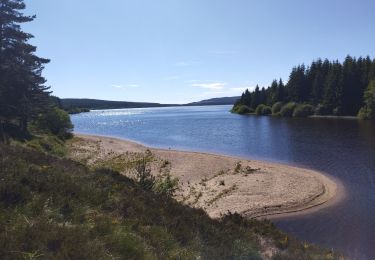
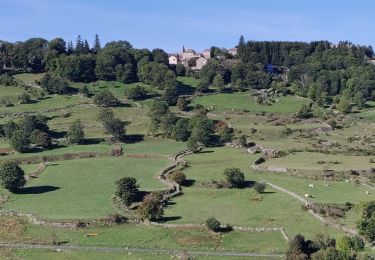
Très belle randonnée en suivant bien le tracé , plusieurs jolies choses à voir sur ce parcours linéaire
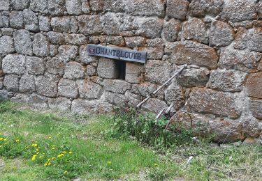
départ parking derrière l'église
après une jolie descente bien escarpée traverser la route et remonter en face en passant devant la FONTAINE DUGESCLIN
nous sommes passés à travers bois pour raccourcir le trajet
(donc c'est normal qu'il n'y ai pas de sentier )
reprendre la piste
en chemin aller voir la stèle d'un berger mort foudroyé avec ses 200 moutons (balisage bleu à travers le bois )
un peu plus loin (voir la pierre trouée en forme de croix )
reprendre le chemin dans un grand virage sur la piste balisage sur l’extrême gauche (bleu) une belle montée en suivant la lisière du bois sur un sentier ou on passe en file indienne
longer la clôture et descendre à un moment donné pour aller voir les ruines d'un ancien ermitage
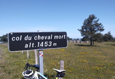
remonter au sentier et continuer jusqu'a l'ancienne base militaire et ses vestiges continer jusqu'au pic de Fortunio


Road bike

Electric bike
Horseback riding
Road bike
Walking

Horseback riding
Horseback riding
Horseback riding

Walking