


Chartreuse Chamechaude sangle du jardin

c.gourme
User

Length
8.4 km

Max alt
2040 m

Uphill gradient
640 m
Km-Effort
18 km

Min alt
1326 m

Downhill gradient
944 m
Boucle
No
Creation date :
2019-09-27 07:36:32.0
Updated on :
2020-12-06 16:45:21.337
4h11
Difficulty : Difficult

FREE GPS app for hiking
 SityTrail
IGN / Geographical institutes
SityTrail Plus
The world is yours!
About
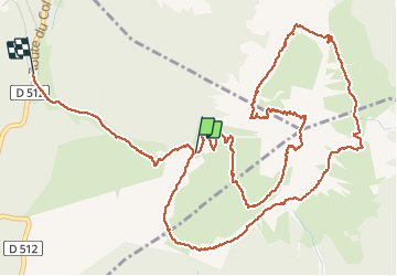
Trail Walking of 8.4 km to be discovered at Auvergne-Rhône-Alpes, Isère, Sarcenas. This trail is proposed by c.gourme.
Description
Rajouter 300 m au dénivelé trace pas prise au début
Positioning
Country:
France
Region :
Auvergne-Rhône-Alpes
Department/Province :
Isère
Municipality :
Sarcenas
Location:
Unknown
Start:(Dec)
Start:(UTM)
717985 ; 5018477 (31T) N.
Comments