


wx

micheleuvrard
User
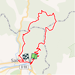

Length
11 km

Max alt
782 m

Uphill gradient
540 m
Km-Effort
18.2 km

Min alt
266 m

Downhill gradient
540 m
Boucle
Yes
Creation date :
2019-09-26 08:01:53.307
Updated on :
2019-09-28 07:42:05.475
5h24
Difficulty : Very easy

FREE GPS app for hiking
 SityTrail
IGN / Geographical institutes
SityTrail Plus
The world is yours!
About
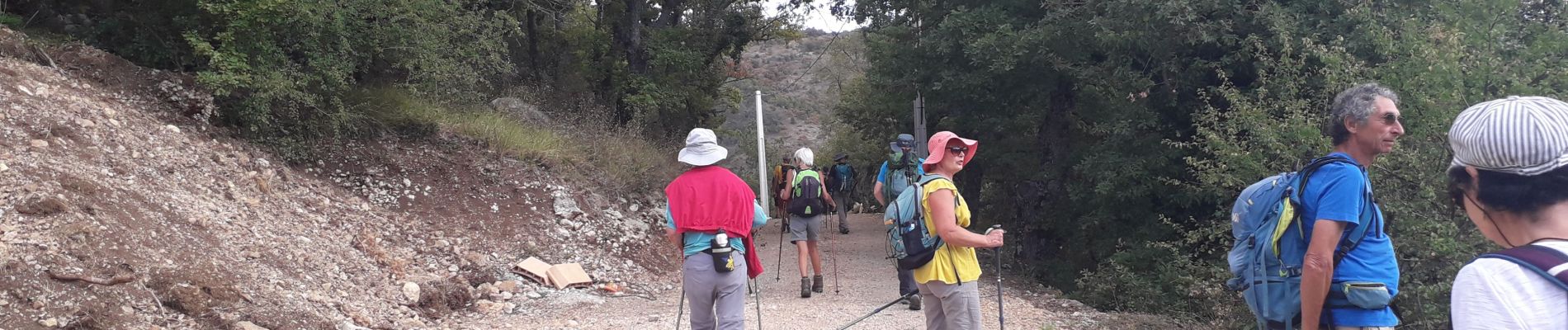
Trail Walking of 11 km to be discovered at Auvergne-Rhône-Alpes, Drôme, Saillans. This trail is proposed by micheleuvrard.
Photos

Positioning
Country:
France
Region :
Auvergne-Rhône-Alpes
Department/Province :
Drôme
Municipality :
Saillans
Location:
Unknown
Start:(Dec)
Start:(UTM)
674622 ; 4951602 (31T) N.
Comments