


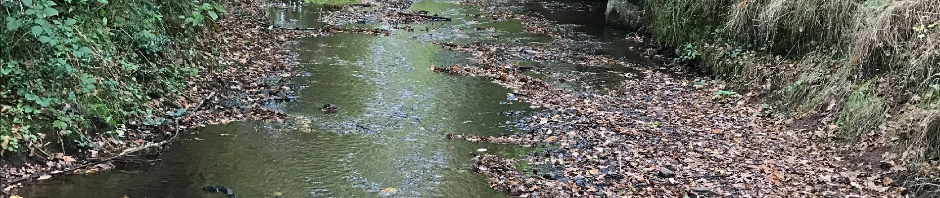
28.09.2019 - De Baulon-ouest à Maxent

babeth35
User
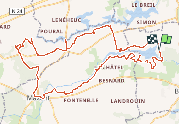

Length
30 km

Max alt
133 m

Uphill gradient
375 m
Km-Effort
35 km

Min alt
82 m

Downhill gradient
368 m
Boucle
Yes
Creation date :
2019-09-28 06:28:16.0
Updated on :
2019-09-28 15:24:35.597
8h03
Difficulty : Difficult

FREE GPS app for hiking
 SityTrail
IGN / Geographical institutes
SityTrail Plus
The world is yours!
About
Trail Walking of 30 km to be discovered at Brittany, Ille-et-Vilaine, Baulon. This trail is proposed by babeth35.
Photos


Positioning
Country:
France
Region :
Brittany
Department/Province :
Ille-et-Vilaine
Municipality :
Baulon
Location:
Unknown
Start:(Dec)
Start:(UTM)
578364 ; 5317332 (30U) N.
Comments