


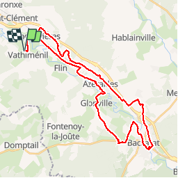
VTT 29/09/19 Baccarat Badmenil Azerailles / test VTTAE Joel

vathi54
User


3h22
Difficulty : Easy

FREE GPS app for hiking
 SityTrail
IGN / Geographical institutes
SityTrail Plus
The world is yours!
About
Trail Mountain bike of 38 km to be discovered at Grand Est, Meurthe-et-Moselle, Vathiménil. This trail is proposed by vathi54.
Description
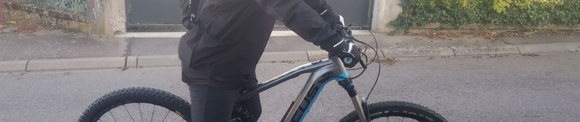
Belle rando avec Max,Luca et Joël.
La 1ère rando de Joel avec son nouveau Focus Jam2 sous un très beau soleil
On a vu de nombreux chevreuils dans les champs. Les chasseurs n'ont pas du tirer grand chose aujourd'hui. Passage habituel par le déversoir à Baccarat et crochet par Badménil pour changer un peu.
Photos


Positioning
Comments