


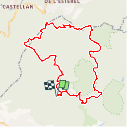
Collines et vallons de l'Esterel

ETMU5496
User

Length
23 km

Max alt
431 m

Uphill gradient
653 m
Km-Effort
31 km

Min alt
62 m

Downhill gradient
654 m
Boucle
Yes
Creation date :
2019-09-29 06:49:36.0
Updated on :
2019-09-30 14:10:46.893
6h13
Difficulty : Difficult

FREE GPS app for hiking
 SityTrail
IGN / Geographical institutes
SityTrail Plus
The world is yours!
About
Trail Walking of 23 km to be discovered at Provence-Alpes-Côte d'Azur, Var, Saint-Raphaël. This trail is proposed by ETMU5496.
Description
Au départ de la MF de Roussiveau, longue rando agréable au coeur du massif de l'Esterel et empruntant différentes pistes, sentiers et cols.
Retour par la barre de Roussiveau.
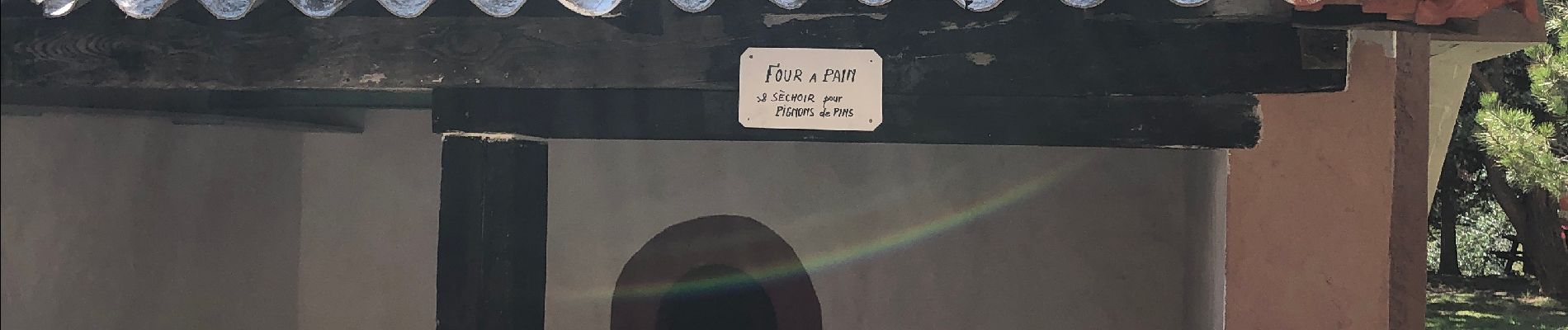
Photos


Positioning
Country:
France
Region :
Provence-Alpes-Côte d'Azur
Department/Province :
Var
Municipality :
Saint-Raphaël
Location:
Unknown
Start:(Dec)
Start:(UTM)
325343 ; 4815206 (32T) N.
Comments