


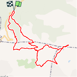


13.3 km | 18.3 km-effort

User


FREE GPS app for hiking
 SityTrail
IGN / Geographical institutes
SityTrail World
The world is yours!
Trail Walking of 12.9 km to be discovered at Provence-Alpes-Côte d'Azur, Var, Bagnols-en-Forêt. This trail is proposed by jean-marie.parachini.
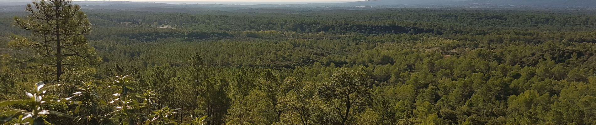
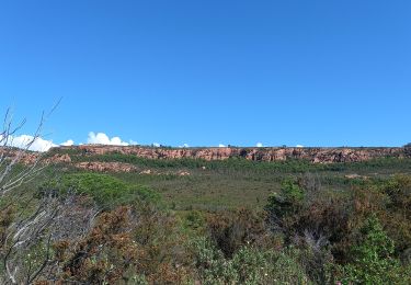
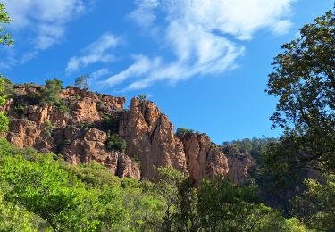
PANORAMA SUR ROCHER DE ROQUEBRUNE


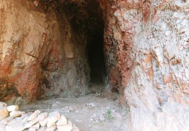
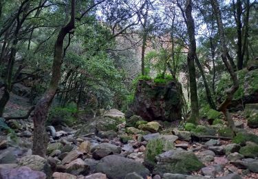
29 photos in total. Please click on a photo to see them all in the gallery.
Walking

Mountain bike

Walking

On foot
Nordic walking
On foot
Walking
Walking
Walking