


camaisse-Fauchon

Berpav
User

Length
12.2 km

Max alt
234 m

Uphill gradient
138 m
Km-Effort
14 km

Min alt
169 m

Downhill gradient
138 m
Boucle
Yes
Creation date :
2019-10-01 11:55:15.578
Updated on :
2019-10-01 15:23:37.166
3h27
Difficulty : Medium

FREE GPS app for hiking
 SityTrail
IGN / Geographical institutes
SityTrail Plus
The world is yours!
About
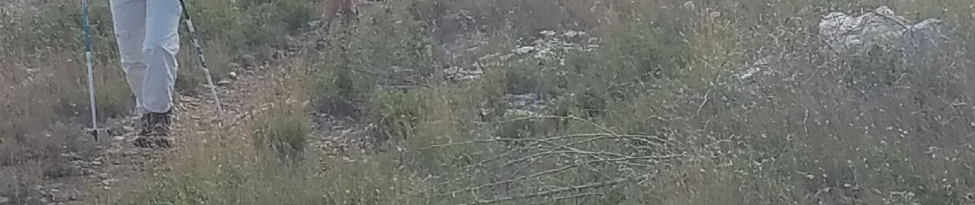
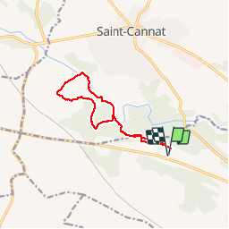
Trail Walking of 12.2 km to be discovered at Provence-Alpes-Côte d'Azur, Bouches-du-Rhône, Éguilles. This trail is proposed by Berpav.
Photos


Positioning
Country:
France
Region :
Provence-Alpes-Côte d'Azur
Department/Province :
Bouches-du-Rhône
Municipality :
Éguilles
Location:
Unknown
Start:(Dec)
Start:(UTM)
686595 ; 4828465 (31T) N.
Comments