


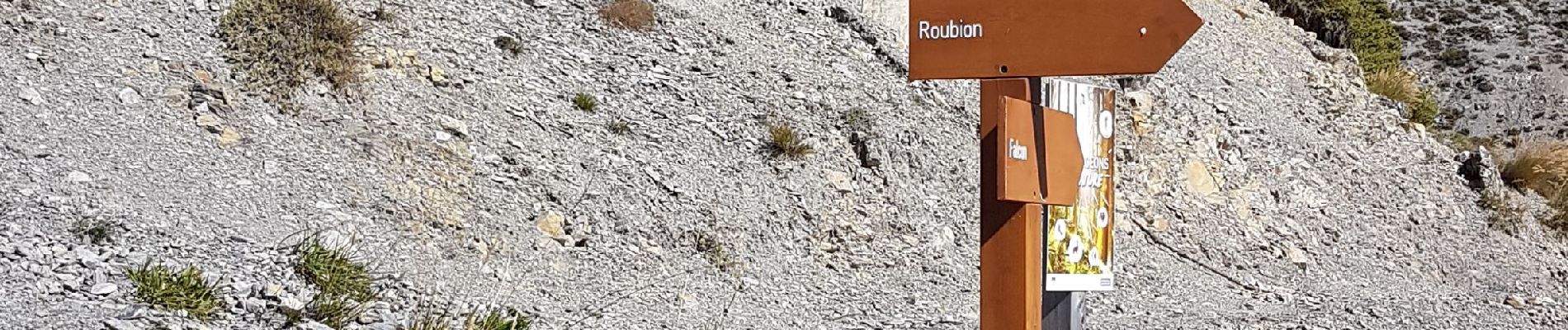
Falcon a Roubion

Renefrt
User
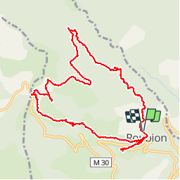

Length
12.4 km

Max alt
1710 m

Uphill gradient
538 m
Km-Effort
19.6 km

Min alt
1295 m

Downhill gradient
545 m
Boucle
Yes
Creation date :
2019-10-03 06:59:35.483
Updated on :
2019-10-03 19:27:59.442
6h24
Difficulty : Medium

FREE GPS app for hiking
 SityTrail
IGN / Geographical institutes
SityTrail Plus
The world is yours!
About
Trail Walking of 12.4 km to be discovered at Provence-Alpes-Côte d'Azur, Maritime Alps, Roubion. This trail is proposed by Renefrt.
Photos


Positioning
Country:
France
Region :
Provence-Alpes-Côte d'Azur
Department/Province :
Maritime Alps
Municipality :
Roubion
Location:
Unknown
Start:(Dec)
Start:(UTM)
343946 ; 4884170 (32T) N.
Comments