


yves

loca.yves
User GUIDE

Length
242 km

Max alt
2665 m

Uphill gradient
26790 m
Km-Effort
601 km

Min alt
228 m

Downhill gradient
27373 m
Boucle
No
Creation date :
2019-09-29 11:51:52.54
Updated on :
2019-10-07 14:28:14.828
8h28
Difficulty : Medium

FREE GPS app for hiking
 SityTrail
IGN / Geographical institutes
SityTrail Plus
The world is yours!
About
Trail Walking of 242 km to be discovered at Auvergne-Rhône-Alpes, Ain, Valserhône. This trail is proposed by loca.yves.
Description
denivele 900m
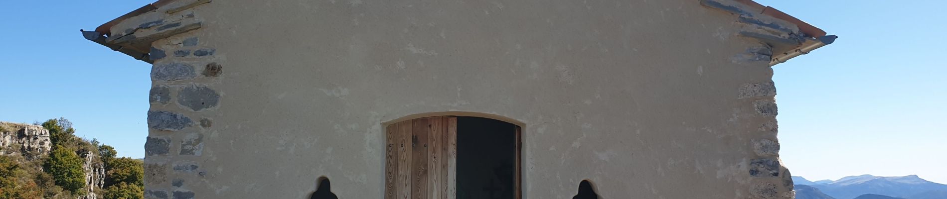
Photos


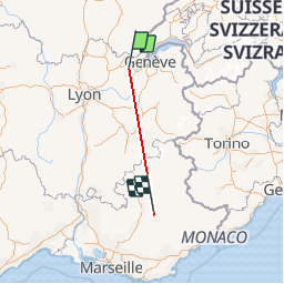
Positioning
Country:
France
Region :
Auvergne-Rhône-Alpes
Department/Province :
Ain
Municipality :
Valserhône
Location:
Châtillon-en-Michaille
Start:(Dec)
Start:(UTM)
711398 ; 5110002 (31T) N.
Comments