


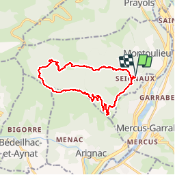

10.5 km | 20 km-effort

User


FREE GPS app for hiking
 SityTrail
IGN / Geographical institutes
SityTrail World
The world is yours!
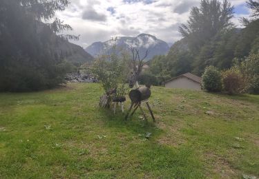
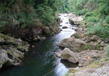
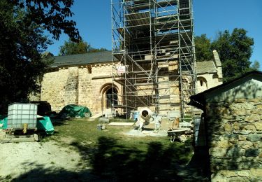
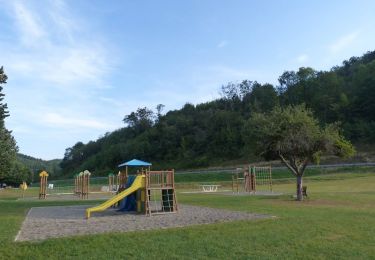
Trail On foot of 15.5 km to be discovered at Occitania, Ariège, Montoulieu. This trail is proposed by c.chehere.
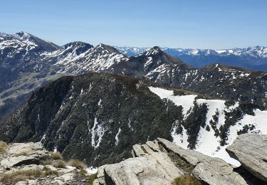
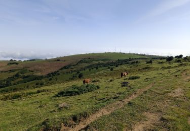
Belle balade Pause déjeuner au pied de l'antenne du roc de Traucadou, mais après pas trouvé le sentier de descente. la végétation a reprie le dessus. Galère dans les fougères (1h30 entre l'antenne et le col ). Vues fantastisques sur Tarascon et la vallée de l'Ariège.
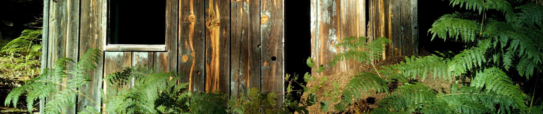
Cabane des gardes absolument nickel


Walking

Running
Walking

Walking
Walking
Walking
Walking