


schneeberg

yann243
User
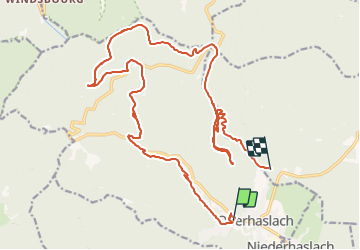

Length
25 km

Max alt
901 m

Uphill gradient
956 m
Km-Effort
37 km

Min alt
273 m

Downhill gradient
865 m
Boucle
No
Creation date :
2014-12-10 00:00:00.0
Updated on :
2014-12-10 00:00:00.0
3h02
Difficulty : Unknown

FREE GPS app for hiking
 SityTrail
IGN / Geographical institutes
SityTrail Plus
The world is yours!
About
Trail Other activity of 25 km to be discovered at Grand Est, Bas-Rhin, Oberhaslach. This trail is proposed by yann243.
Positioning
Country:
France
Region :
Grand Est
Department/Province :
Bas-Rhin
Municipality :
Oberhaslach
Location:
Unknown
Start:(Dec)
Start:(UTM)
376171 ; 5378845 (32U) N.
Comments