


cherman 2

philou91
User
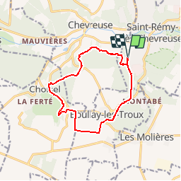

Length
12.4 km

Max alt
174 m

Uphill gradient
217 m
Km-Effort
15.3 km

Min alt
109 m

Downhill gradient
218 m
Boucle
Yes
Creation date :
2014-12-10 00:00:00.0
Updated on :
2014-12-10 00:00:00.0
3h22
Difficulty : Easy

FREE GPS app for hiking
 SityTrail
IGN / Geographical institutes
SityTrail Plus
The world is yours!
About
Trail Walking of 12.4 km to be discovered at Ile-de-France, Yvelines, Saint-Rémy-lès-Chevreuse. This trail is proposed by philou91.
Description
Une ballade sympa avec 2 petites difficultés!
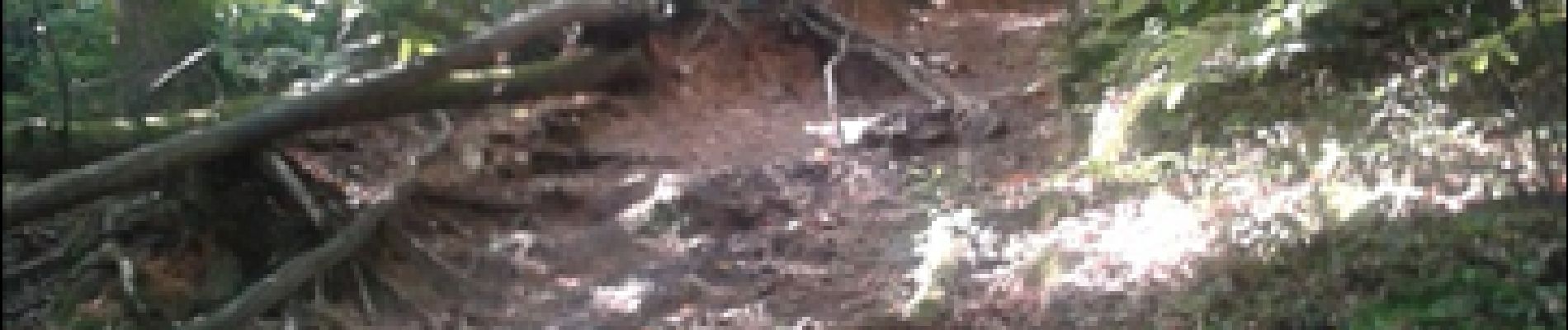
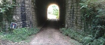
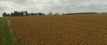
Photos


Positioning
Country:
France
Region :
Ile-de-France
Department/Province :
Yvelines
Municipality :
Saint-Rémy-lès-Chevreuse
Location:
Unknown
Start:(Dec)
Start:(UTM)
430783 ; 5394228 (31U) N.
Comments