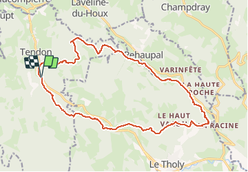


8.2 km | 12.4 km-effort


User


FREE GPS app for hiking
 SityTrail
IGN / Geographical institutes
SityTrail World
The world is yours!
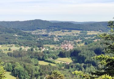
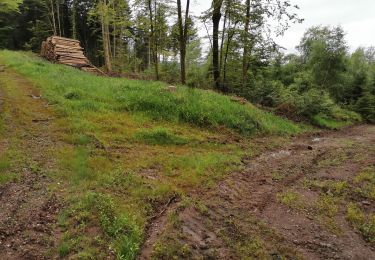
Trail Walking of 20 km to be discovered at Grand Est, Vosges, Tendon. This trail is proposed by Bart2015.
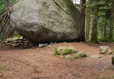
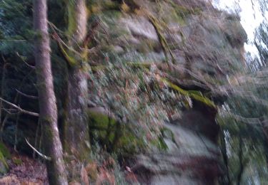
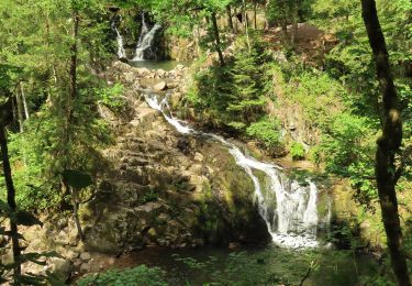
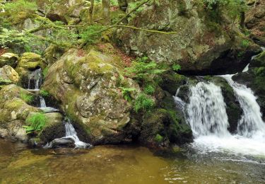
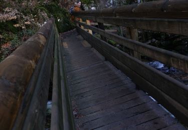
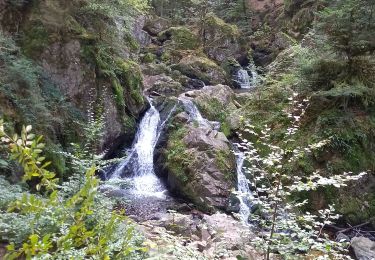
Belle balade pour découvrir la petite puis la grande cascade de Tendon (la plus longue chute d'eau des Vosges). Puis vous arrivez au "Trou de l'Enfer" : un site hors du commun, sauvage et pittoresque, et où gisent d’énormes rochers de granit. La légende raconte qu'un violoniste errant dans les parages aurait croisé sur son chemin un grand homme lui demandant d'animer le bal qu'il organisait dans son château. Le lendemain, arrivé au même endroit, un château de flamme surprit le violoniste et quand il franchit le seuil de la bâtisse un flash l'épouvanta. Il comprit qu'il venait de pénétrer dans l'enceinte du Diable, fit des signes de croix et le château finit par s'écrouler. C’est pourquoi les villageois ont appelé ce lieu le « Trou de l’Enfer ». Enfin la randonnée se termine par les Roches de la Moulures : énormes rochers de granit jouant à l'équilibriste ...
Bonne randonnée.


37 photos in total. Please click on a photo to see them all in the gallery.
Walking
Horseback riding
Horseback riding
Horseback riding

Walking
Walking