


Les trois puys

viam19
User
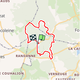

Length
13.8 km

Max alt
1174 m

Uphill gradient
415 m
Km-Effort
19.3 km

Min alt
952 m

Downhill gradient
415 m
Boucle
Yes
Creation date :
2019-10-12 07:22:36.749
Updated on :
2019-10-16 16:06:06.548
5h46
Difficulty : Difficult

FREE GPS app for hiking
 SityTrail
IGN / Geographical institutes
SityTrail Plus
The world is yours!
About
Trail Walking of 13.8 km to be discovered at Auvergne-Rhône-Alpes, Puy-de-Dôme, Aydat. This trail is proposed by viam19.
Description
randonnée en boucle difficulté moyenne, plus difficile aux puys de la vache et Lassolas.
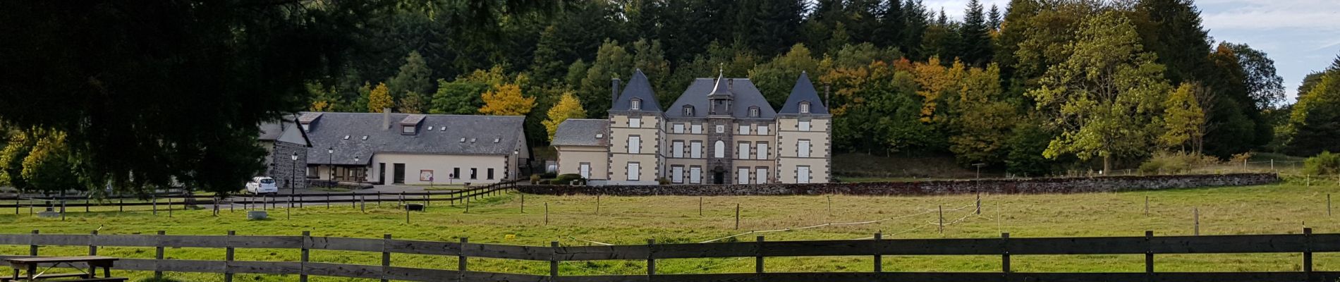
Photos


Positioning
Country:
France
Region :
Auvergne-Rhône-Alpes
Department/Province :
Puy-de-Dôme
Municipality :
Aydat
Location:
Unknown
Start:(Dec)
Start:(UTM)
496236 ; 5060014 (31T) N.
Comments