


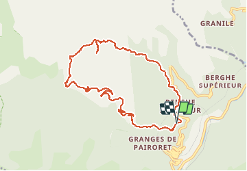

13.9 km | 27 km-effort

User


FREE GPS app for hiking
 SityTrail
IGN / Geographical institutes
SityTrail World
The world is yours!
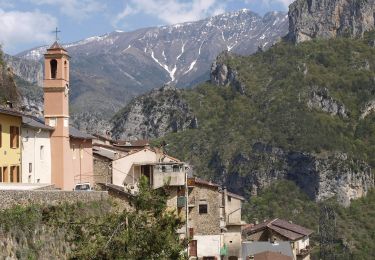
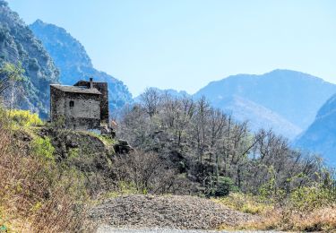
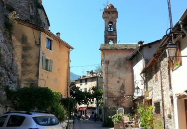
Trail Walking of 10.7 km to be discovered at Provence-Alpes-Côte d'Azur, Maritime Alps, Fontan. This trail is proposed by aris.
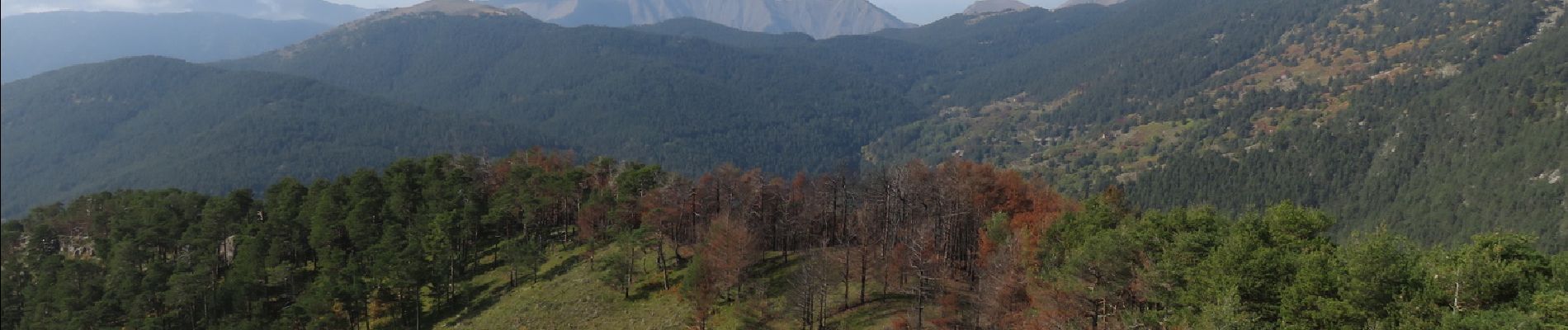
Couleurs d'automne, chataignes et champignons pour cette boucle facile. Belle vue panoramique au sommet de la cime de Corvo.


On foot
On foot
On foot
On foot
On foot
On foot
Walking
Walking
Walking