


burzy

mcterret
User


Length
15.6 km

Max alt
362 m

Uphill gradient
293 m
Km-Effort
19.5 km

Min alt
218 m

Downhill gradient
297 m
Boucle
Yes
Creation date :
2019-10-13 08:32:50.908
Updated on :
2019-10-13 15:01:46.534
6h27
Difficulty : Easy

FREE GPS app for hiking
 SityTrail
IGN / Geographical institutes
SityTrail Plus
The world is yours!
About
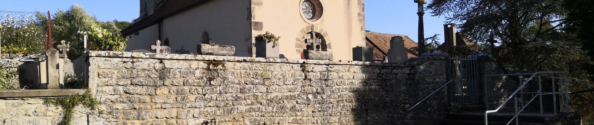
Trail Walking of 15.6 km to be discovered at Bourgogne-Franche-Comté, Saône-et-Loire, Burzy. This trail is proposed by mcterret.
Photos

Positioning
Country:
France
Region :
Bourgogne-Franche-Comté
Department/Province :
Saône-et-Loire
Municipality :
Burzy
Location:
Unknown
Start:(Dec)
Start:(UTM)
621196 ; 5161530 (31T) N.
Comments