


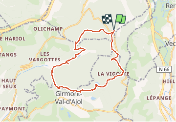
Remiremont - baraque des gardes - étang du Villerain - cascade du Géhart - étangs et prieuré d'Hérival

Bart2015
User


5h19
Difficulty : Medium

FREE GPS app for hiking
 SityTrail
IGN / Geographical institutes
SityTrail Plus
The world is yours!
About
Trail Walking of 16.6 km to be discovered at Grand Est, Vosges, Remiremont. This trail is proposed by Bart2015.
Description
Belle randonnée près de Remiremont. Pourquoi ne pas en profiter pour ramener quelques beaux champignons (si l'on s'y connait bien sûr) ...
Bonne randonnée
Photos


50 photos in total. Please click on a photo to see them all in the gallery.
Positioning
Comments