


Rando au départ de Saint Julien

choubaka77
User
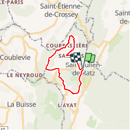

Length
9.8 km

Max alt
706 m

Uphill gradient
197 m
Km-Effort
12.4 km

Min alt
640 m

Downhill gradient
196 m
Boucle
Yes
Creation date :
2019-10-20 12:07:28.0
Updated on :
2019-10-20 14:48:20.543
2h37
Difficulty : Medium

FREE GPS app for hiking
 SityTrail
IGN / Geographical institutes
SityTrail Plus
The world is yours!
About
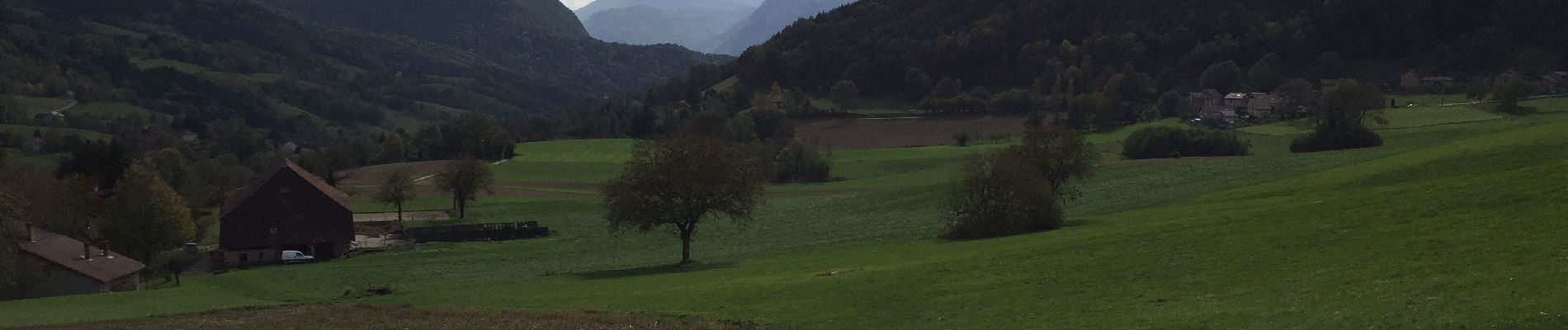
Trail Walking of 9.8 km to be discovered at Auvergne-Rhône-Alpes, Isère, La Sure en Chartreuse. This trail is proposed by choubaka77.
Description
Belle balade d’automne où il faut prévoir le sac pour les châtaignes et pour les connaisseurs, les champignons !
Photos


Positioning
Country:
France
Region :
Auvergne-Rhône-Alpes
Department/Province :
Isère
Municipality :
La Sure en Chartreuse
Location:
Unknown
Start:(Dec)
Start:(UTM)
708535 ; 5025265 (31T) N.
Comments