


Canyon des Gueulards

ezorzet
User

Length
73 km

Max alt
1268 m

Uphill gradient
3412 m
Km-Effort
118 km

Min alt
159 m

Downhill gradient
3259 m
Boucle
No
Creation date :
2019-10-16 11:49:21.504
Updated on :
2019-10-28 15:30:18.471
6h24
Difficulty : Medium

FREE GPS app for hiking
 SityTrail
IGN / Geographical institutes
SityTrail Plus
The world is yours!
About
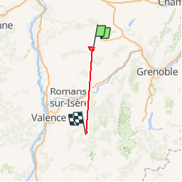
Trail Walking of 73 km to be discovered at Auvergne-Rhône-Alpes, Isère, Saint-Siméon-de-Bressieux. This trail is proposed by ezorzet.
Description
Belle randonnée
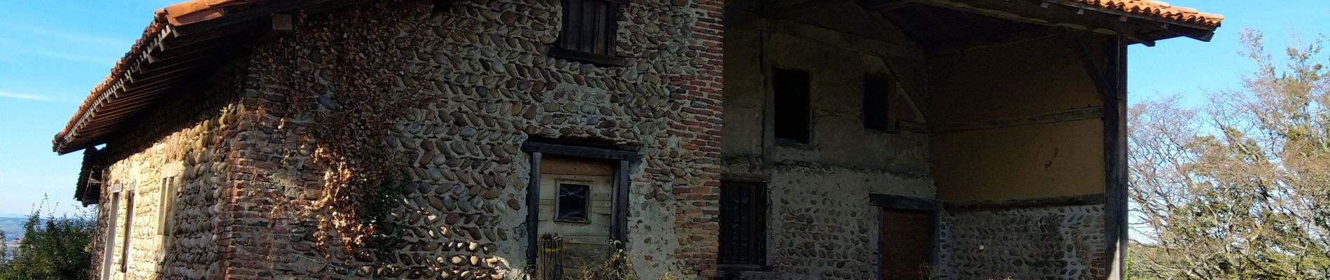
Photos


Positioning
Country:
France
Region :
Auvergne-Rhône-Alpes
Department/Province :
Isère
Municipality :
Saint-Siméon-de-Bressieux
Location:
Unknown
Start:(Dec)
Start:(UTM)
675810 ; 5020342 (31T) N.
Comments