


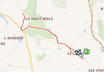

8 km | 8.7 km-effort


User


FREE GPS app for hiking
 SityTrail
IGN / Geographical institutes
SityTrail World
The world is yours!
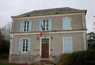
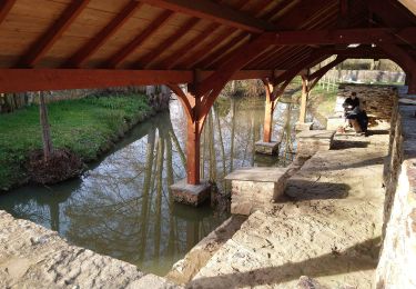
Trail Running of 4.3 km to be discovered at Pays de la Loire, Loire-Atlantique, Loireauxence. This trail is proposed by pabi86.
Sous la pluie
On foot
On foot

Other activity

Mountain bike

On foot
Other activity

Walking
Walking
Hybrid bike