


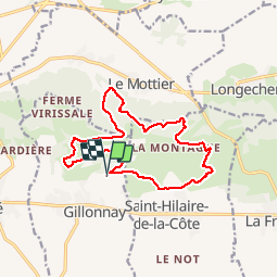
Trait marrons Gillonnay

mireillemarmonier
User

Length
14.9 km

Max alt
646 m

Uphill gradient
415 m
Km-Effort
20 km

Min alt
433 m

Downhill gradient
412 m
Boucle
Yes
Creation date :
2019-10-27 07:21:36.0
Updated on :
2019-10-27 11:11:41.339
3h48
Difficulty : Unknown

FREE GPS app for hiking
 SityTrail
IGN / Geographical institutes
SityTrail Plus
The world is yours!
About
Trail Walking of 14.9 km to be discovered at Auvergne-Rhône-Alpes, Isère, Gillonnay. This trail is proposed by mireillemarmonier.
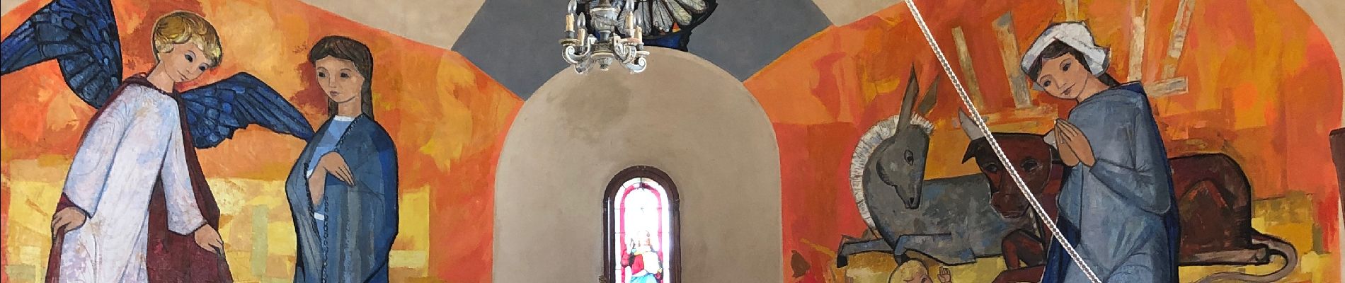
Photos


Positioning
Country:
France
Region :
Auvergne-Rhône-Alpes
Department/Province :
Isère
Municipality :
Gillonnay
Location:
Unknown
Start:(Dec)
Start:(UTM)
680450 ; 5029860 (31T) N.
Comments