


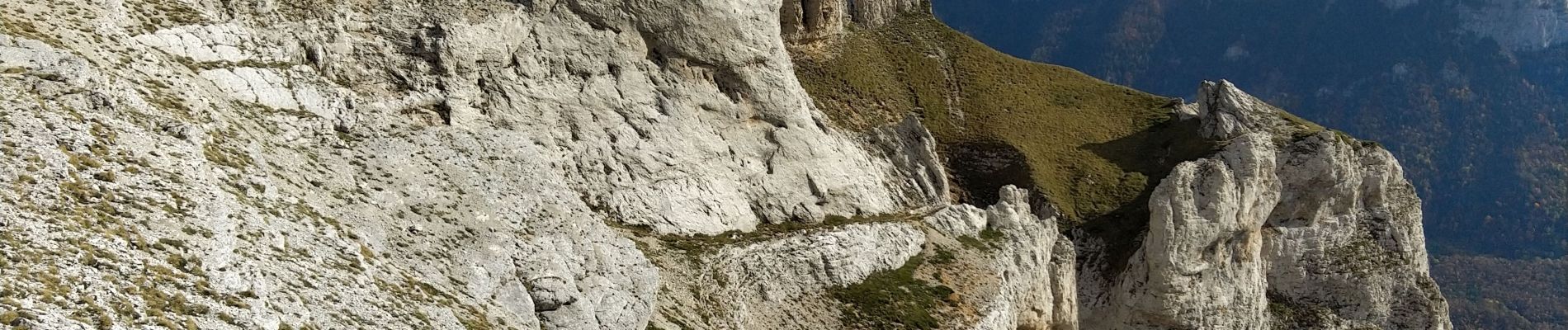
Montagne de beurre: Pré Peyret

ezorzet
User
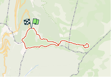

Length
15.6 km

Max alt
1704 m

Uphill gradient
669 m
Km-Effort
25 km

Min alt
1376 m

Downhill gradient
675 m
Boucle
Yes
Creation date :
2019-10-27 08:21:24.338
Updated on :
2019-10-28 17:12:06.909
--
Difficulty : Very easy
5h58
Difficulty : Very easy

FREE GPS app for hiking
 SityTrail
IGN / Geographical institutes
SityTrail Plus
The world is yours!
About
Trail On foot of 15.6 km to be discovered at Auvergne-Rhône-Alpes, Drôme, Saint-Agnan-en-Vercors. This trail is proposed by ezorzet.
Description
Pré Peyret
Photos


Positioning
Country:
France
Region :
Auvergne-Rhône-Alpes
Department/Province :
Drôme
Municipality :
Saint-Agnan-en-Vercors
Location:
Unknown
Start:(Dec)
Start:(UTM)
691490 ; 4968287 (31T) N.
Comments