


Le Rawil-Cabane des Audannes

lroux
User
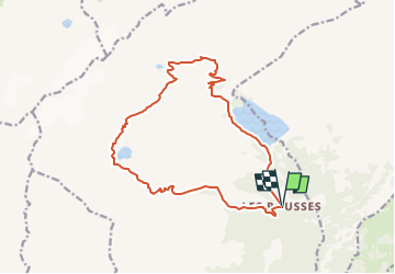

Length
15.8 km

Max alt
2654 m

Uphill gradient
1334 m
Km-Effort
34 km

Min alt
1752 m

Downhill gradient
1327 m
Boucle
Yes
Creation date :
2014-12-11 00:00:00.0
Updated on :
2014-12-11 00:00:00.0
--
Difficulty : Unknown

FREE GPS app for hiking
 SityTrail
IGN / Geographical institutes
SityTrail Plus
The world is yours!
About
Trail Walking of 15.8 km to be discovered at Valais/Wallis, Hérens, Ayent. This trail is proposed by lroux.
Description
..
Positioning
Country:
Switzerland
Region :
Valais/Wallis
Department/Province :
Hérens
Municipality :
Ayent
Location:
Unknown
Start:(Dec)
Start:(UTM)
379720 ; 5132194 (32T) N.
Comments