


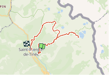

18 km | 45 km-effort


User


FREE GPS app for hiking
 SityTrail
IGN / Geographical institutes
SityTrail World
The world is yours!
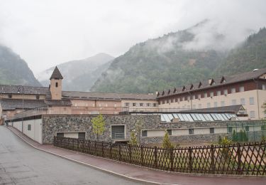
Trail Walking of 19.5 km to be discovered at Provence-Alpes-Côte d'Azur, Maritime Alps, Saint-Étienne-de-Tinée. This trail is proposed by Atchoum26.
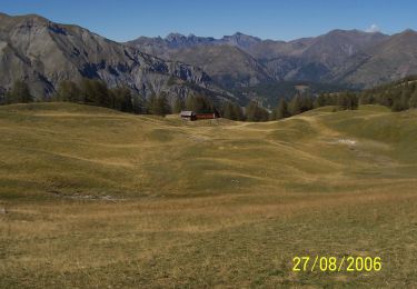
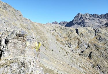
première partie bien raide
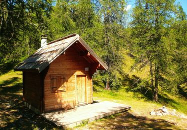
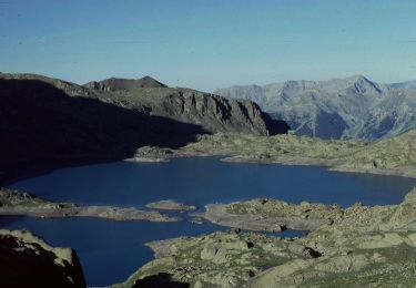
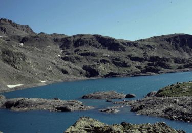
Après l'on aperçoit le refuge du lac


Walking
On foot
On foot
On foot
On foot
On foot
On foot

On foot
Walking
Merci pour cette belle randonnée et vos photos !