


canalisation des orangers

XavierFaidix
User
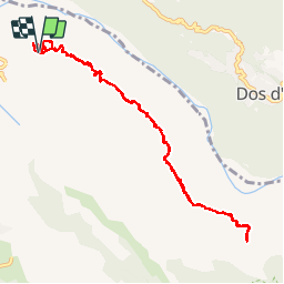

Length
14 km

Max alt
1038 m

Uphill gradient
1178 m
Km-Effort
30 km

Min alt
443 m

Downhill gradient
1166 m
Boucle
Yes
Creation date :
2019-11-07 06:22:16.0
Updated on :
2019-11-08 09:20:11.465
3h30
Difficulty : Very easy

FREE GPS app for hiking
 SityTrail
IGN / Geographical institutes
SityTrail Plus
The world is yours!
About
Trail Walking of 14 km to be discovered at Réunion, Unknown, Saint-Paul. This trail is proposed by XavierFaidix.
Positioning
Country:
France
Region :
Réunion
Department/Province :
Unknown
Municipality :
Saint-Paul
Location:
Unknown
Start:(Dec)
Start:(UTM)
328099 ; 7679168 (40K) S.
Comments