


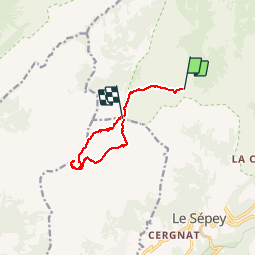

3.6 km | 6 km-effort


User


FREE GPS app for hiking
 SityTrail
IGN / Geographical institutes
SityTrail World
The world is yours!
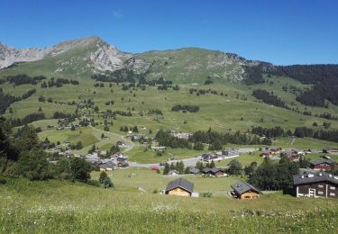
Trail Other activity of 9 km to be discovered at Vaud, District d'Aigle, Ormont-Dessous. This trail is proposed by Bachmann.
Belle randonnée, supérieure à celle de la tour d''Aï grâce à l''ambiance sauvage, les vues sur les parois, la diversité.
Le dénivelé calculé de 1190m paraît un peu élevé mais correspond à l''effort. Le dénivelé négatif s''arrête au point de rencontre de l''tinéraire d''aller.
Voir aussi la rando "Tour de Famelon - Tour de Mayen" proposée par Romrando. On passe le long de murs utilisés pour l''entrainement à la varappe après Les Chaux. Le lapiaz pour attiendre Sur les Truex sont un peu chronophages. Le dernier ressaut de la tour de Mayen conprend un passage raide muni chaîne.

Walking
Walking
Walking
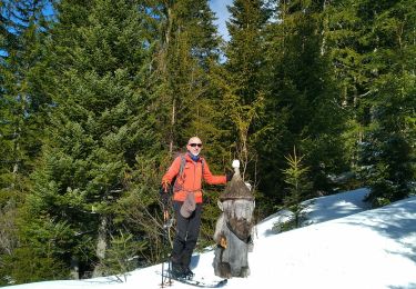
Touring skiing

Walking
Walking

Winter sports
Walking