


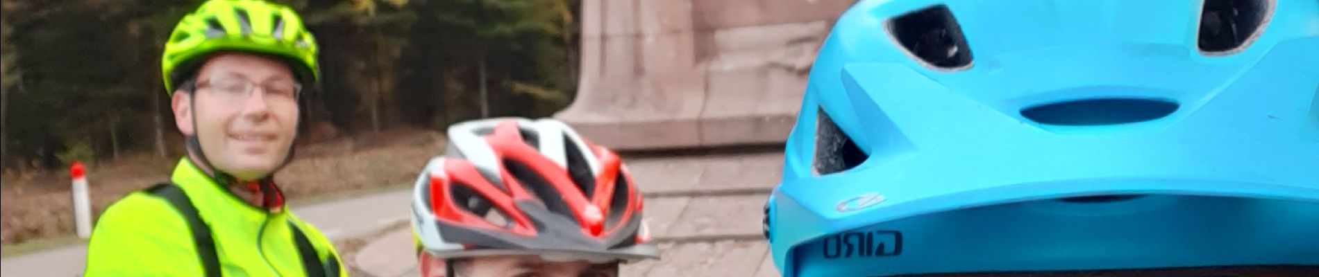
VTT avec David et Joel au Col de la Chipotte 10/11/19

vathi54
User


2h55
Difficulty : Easy

FREE GPS app for hiking
 SityTrail
IGN / Geographical institutes
SityTrail Plus
The world is yours!
About
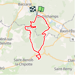
Trail Mountain bike of 26 km to be discovered at Grand Est, Meurthe-et-Moselle, Lachapelle. This trail is proposed by vathi54.
Description
Découverte d'un nouveau terrain de jeu à côté de chez nous.
Des chemins forestiers, singles, ruisseaux, petits ponts, rochers en grès.
Départ retardé suite à un problème de tige de selle, puis parcours modifié pour éviter les chasseurs.
Une petite pause historique au cimetière militaire de la Chipotte et au monument en hommage aux Poilus.
Il faut qu'on y retourne avec Fab.
Arrivée à la nuit tombante. Il faut vraiment qu'on prenne les frontales.
Photos


Positioning
Comments