


l aupet

gillesmanfredi
User

Length
11.1 km

Max alt
2345 m

Uphill gradient
935 m
Km-Effort
24 km

Min alt
1471 m

Downhill gradient
925 m
Boucle
Yes
Creation date :
2019-11-17 08:47:14.709
Updated on :
2019-11-17 13:45:59.913
4h57
Difficulty : Very easy

FREE GPS app for hiking
 SityTrail
IGN / Geographical institutes
SityTrail Plus
The world is yours!
About
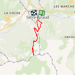
Trail Touring skiing of 11.1 km to be discovered at Provence-Alpes-Côte d'Azur, Hautes-Alpes, Orcières. This trail is proposed by gillesmanfredi.
Positioning
Country:
France
Region :
Provence-Alpes-Côte d'Azur
Department/Province :
Hautes-Alpes
Municipality :
Orcières
Location:
Unknown
Start:(Dec)
Start:(UTM)
284075 ; 4950676 (32T) N.
Comments