


Marolles

bianchireg
User
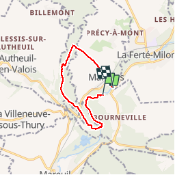

Length
8.8 km

Max alt
140 m

Uphill gradient
125 m
Km-Effort
10.5 km

Min alt
63 m

Downhill gradient
132 m
Boucle
No
Creation date :
2019-11-17 13:49:13.644
Updated on :
2019-11-17 15:57:54.163
2h07
Difficulty : Easy

FREE GPS app for hiking
 SityTrail
IGN / Geographical institutes
SityTrail Plus
The world is yours!
About
Trail Walking of 8.8 km to be discovered at Hauts-de-France, Oise, Marolles. This trail is proposed by bianchireg.
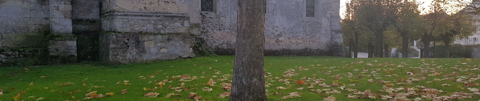
Photos


Positioning
Country:
France
Region :
Hauts-de-France
Department/Province :
Oise
Municipality :
Marolles
Location:
Unknown
Start:(Dec)
Start:(UTM)
507482 ; 5445744 (31U) N.
Comments